Rottnest Island Tours

Rottnest Island map: Beaches, attractions, cycling & more

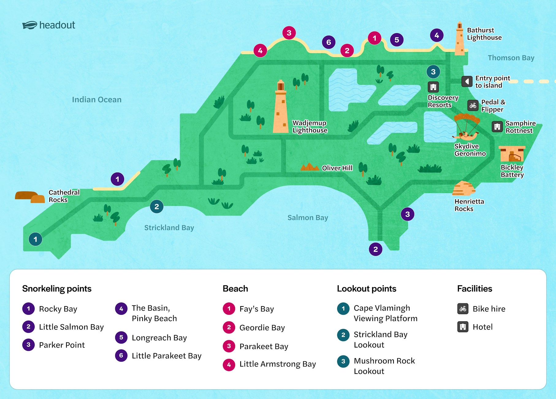
Plan your day around Rottnest Island with a map of its beaches, bays, attractions, quokka-spotting areas, cycling routes, walking trails and visitor facilities. Use it to see where places are located, plan your route and decide how you want to explore the island.

Rottnest Island map

Rottnest Island map highlighting snorkeling spots, beaches, and lookouts.

Download map

Beaches & bays

Looking forWhere to go

Swimming

The Basin, Pinky Beach, Parakeet Bay

Snorkelling

The Basin, Little Salmon Bay, Parker Point

Quieter beaches

Little Parakeet Bay, Henrietta Rocks

Surfing

Strickland Bay

Coastal views

Parker Point, West End

Attractions & landmarks

Rottnest Island combines coastal scenery with historic and cultural landmarks. Add these stops to your map when planning a cycling or walking route.

Lighthouses & lookouts

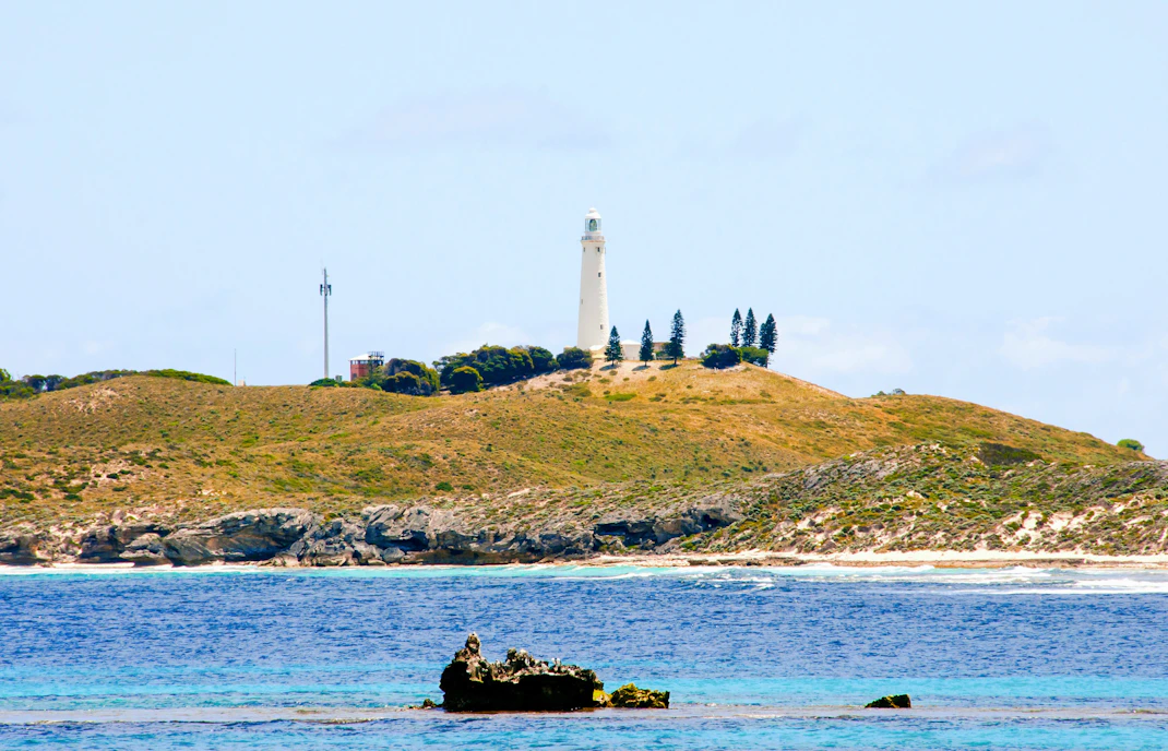
  • Wadjemup Lighthouse: A prominent island landmark with views across Rottnest.
  • Bathurst Lighthouse: Located near the Settlement and surrounded by areas where quokkas are often spotted.
  • Vlamingh Lookout: A viewpoint overlooking the island and its coastline.
  • West End: The island's westernmost point, known for dramatic coastal scenery.

History & heritage

  • Oliver Hill Tunnels & Gun Emplacements: Explore remnants of Rottnest's military history.
  • Wadjemup Museum: Learn about the island's natural, cultural and social history.
  • Kingstown Barracks: One of the island's significant historic areas.

Use the map to combine nearby landmarks with beaches, viewpoints and cycling routes.

Quokka-spotting locations

Quokkas live across Rottnest Island, but you're most likely to encounter them around sheltered, vegetated areas and the Settlement.

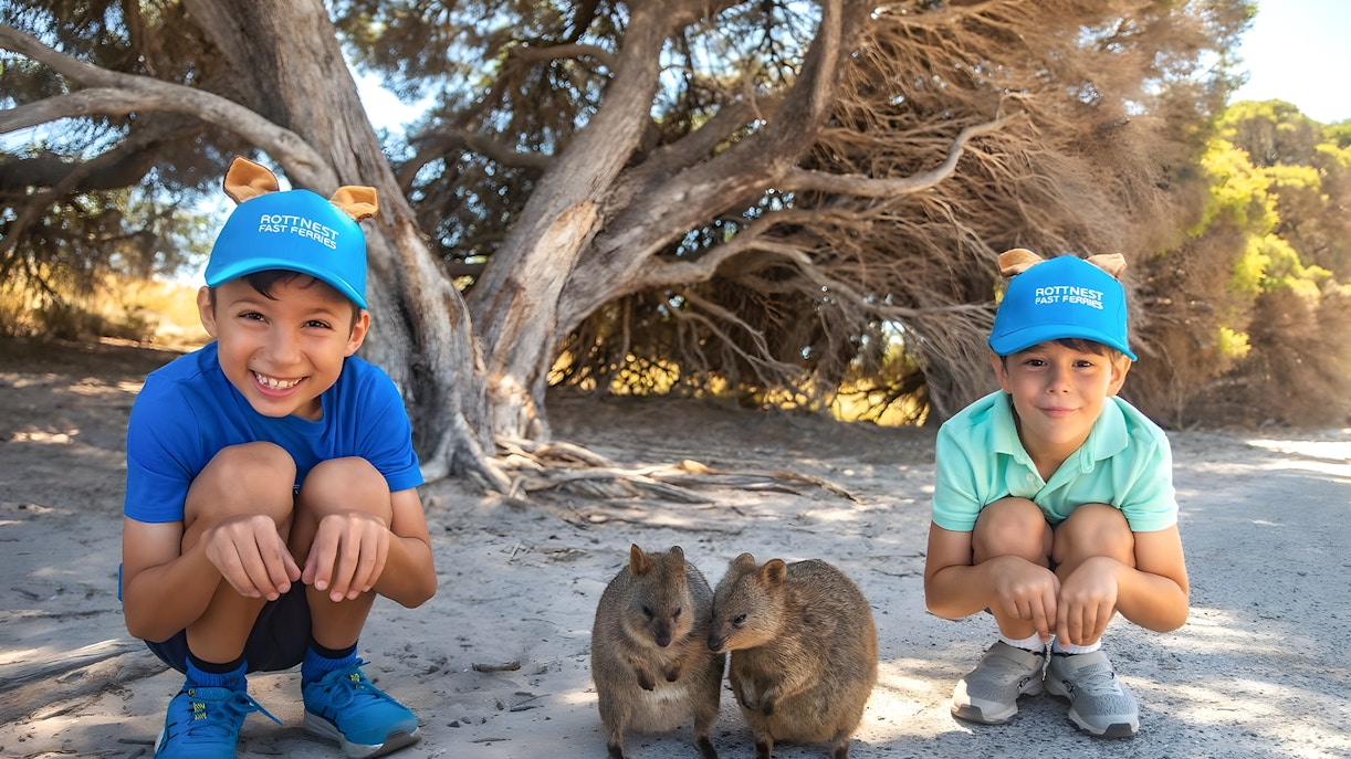
Children crouching near quokkas on Rottnest Island during a guided bus tour.

Places to look for quokkas include:

  • Thomson Bay and the Main Settlement
  • Heritage Common
  • Areas around Bathurst Lighthouse
  • The Basin and surrounding vegetation
  • Shaded paths and quieter areas away from busy roads

Quokkas are wild animals, so give them space and let them approach naturally. Do not touch or feed them.

Cycling routes

RouteDistanceTimeDifficultyHighlights

Rotto Mini Loop

4 km

30–60 min

Easy

The Basin, Longreach Bay, Geordie Bay

Rotto Mini Loop

10 km

1.5–3 hrs

Moderate

Parker Point, Little Salmon Bay, Wadjemup Lighthouse

Rotto Mini Loop

22 km

3–5 hrs

Challenging

West End, Cathedral Rocks and major bays

Walking trails

TrailDistanceDifficultyHighlights

Ngank Yira Bidi

9.5 km

Moderate

Bickley Battery, Oliver Hill and coastal views

Wardan Nara Bidi

9.5 km

Moderate

Parker Point, Little Salmon Bay and Wadjemup Lighthouse

Ngank Wen Bidi

7.6 km

Moderate

Rocky Bay, Cathedral Rocks and West End

Karlinyah Bidi

5.9 km

Difficult

Northern coastline, beaches and shipwreck views

Gabbi Karniny Bidi

9.5 km

Moderate

Salt lakes, Vlamingh Lookout, Geordie Bay and The Basin

Snorkelling & swimming spots

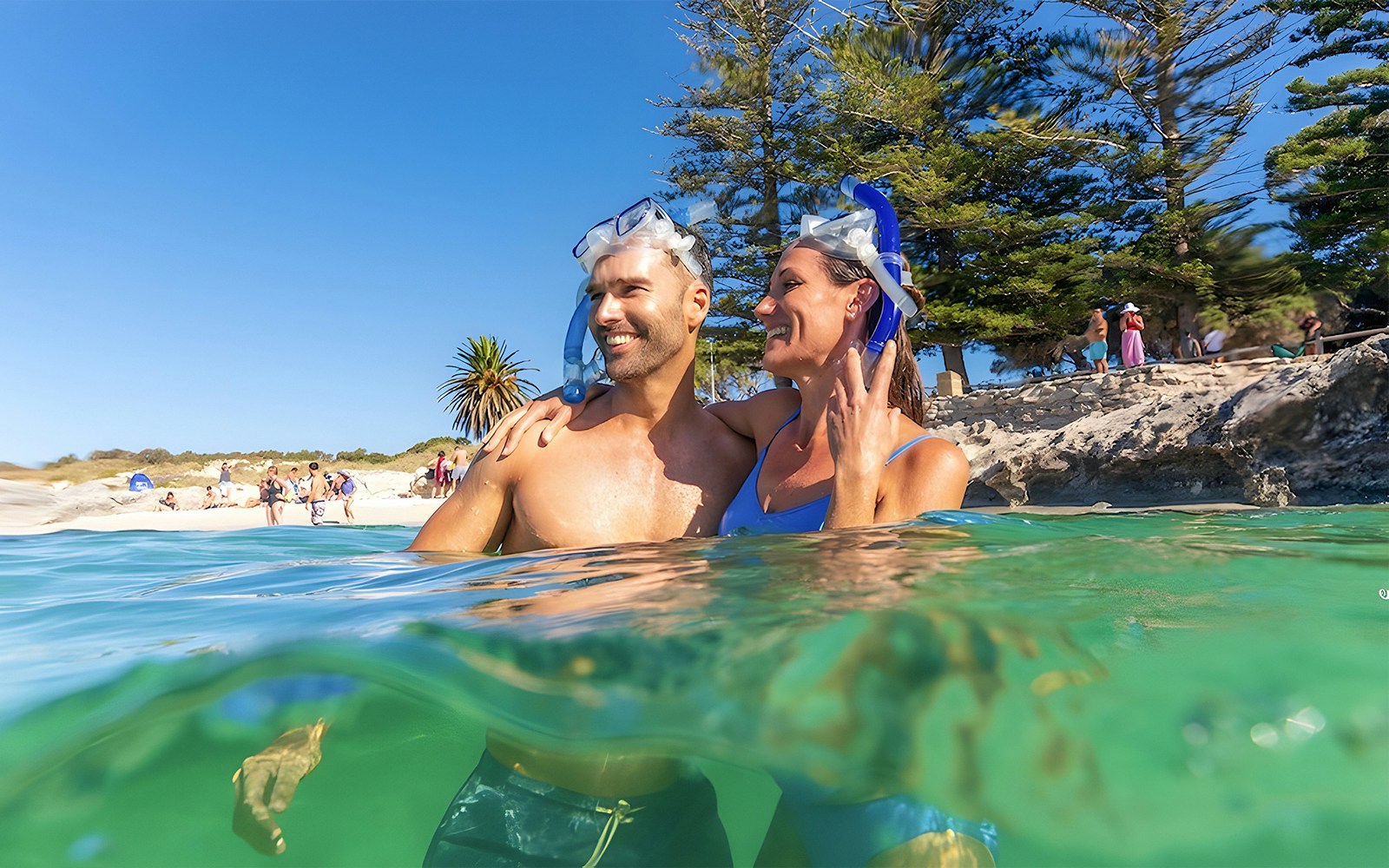
Couple snorkeling near Rottnest Island beach with clear water and trees in the background.

The Basin

A sheltered spot close to the Settlement, making it one of the easiest places to combine swimming and snorkelling with other island stops.

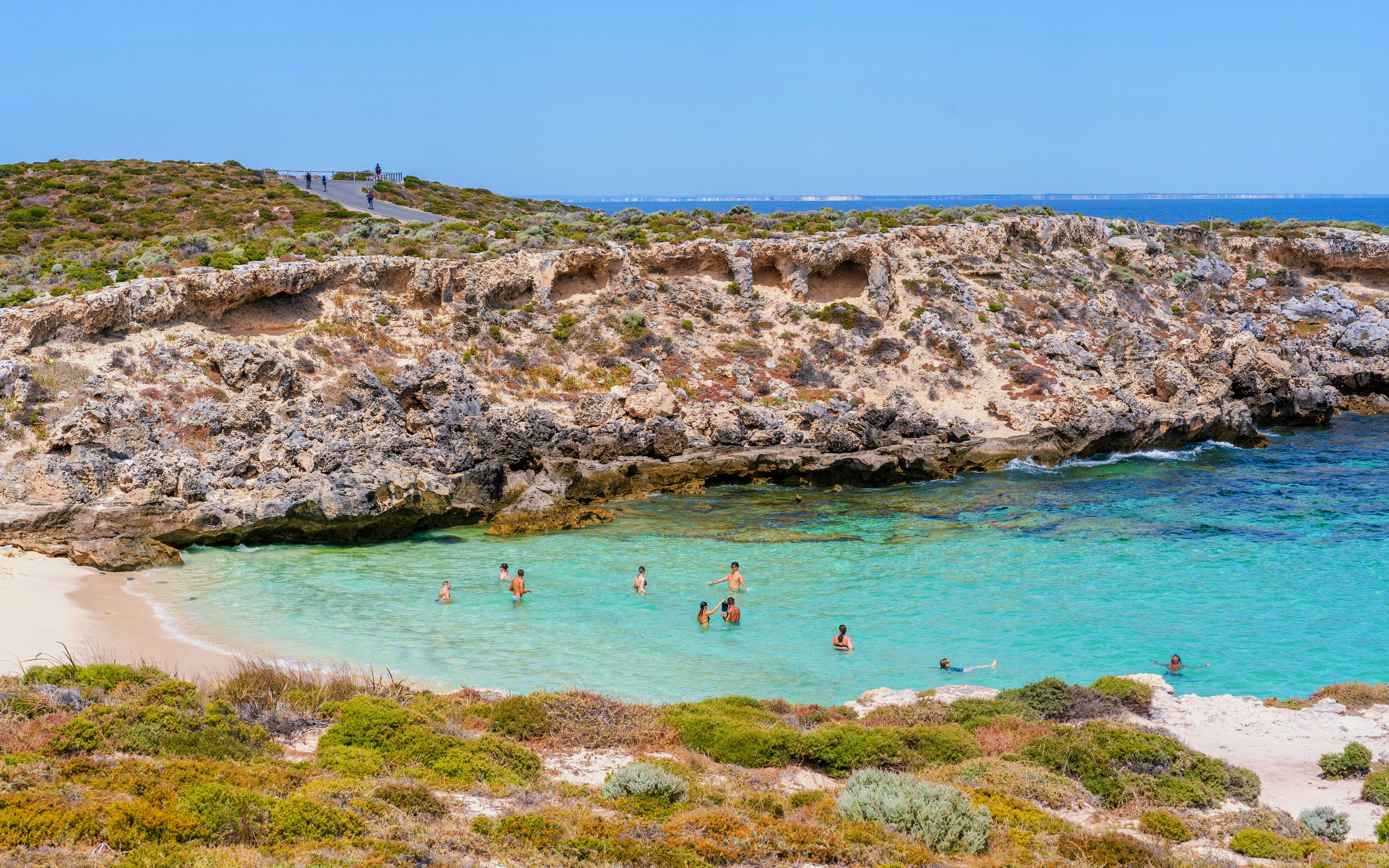
Swimmers enjoying clear waters at Little Salmon Bay, Rottnest Island, with rocky cliffs in the background.
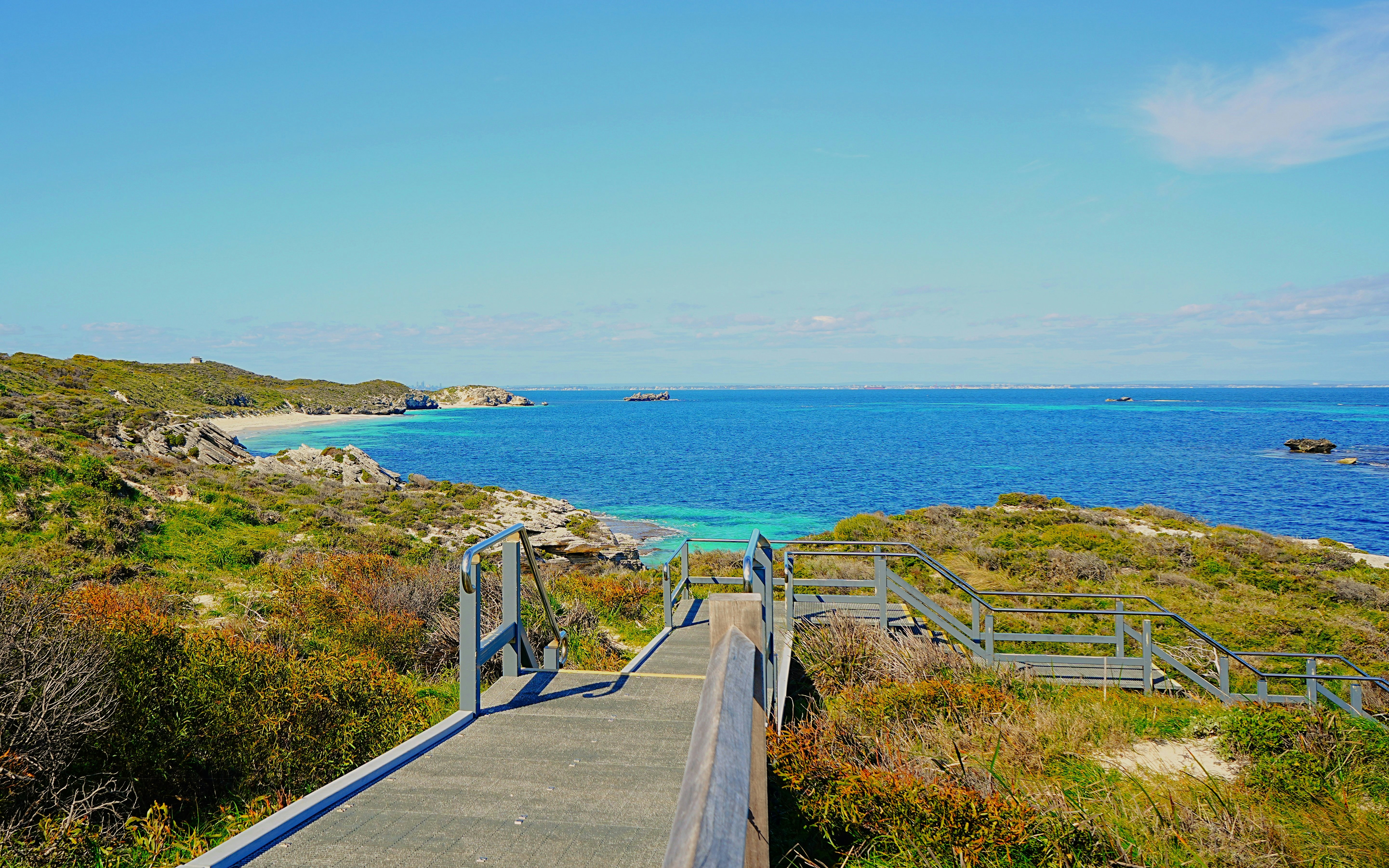
Boardwalk leading to ocean view on Rottnest Island, Australia.
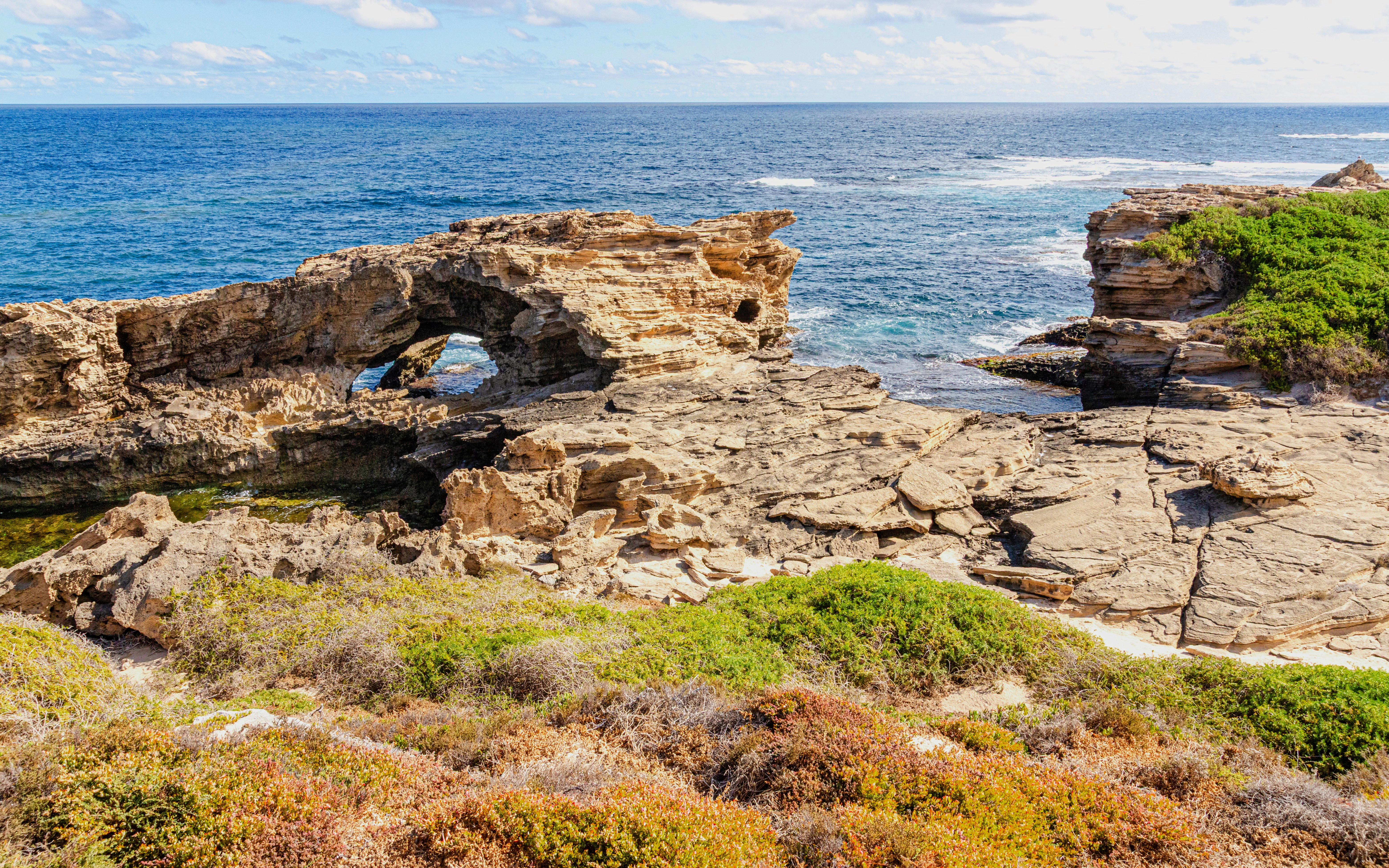
Rock formations and coastal view at Wadjemup, Rottnest Island.
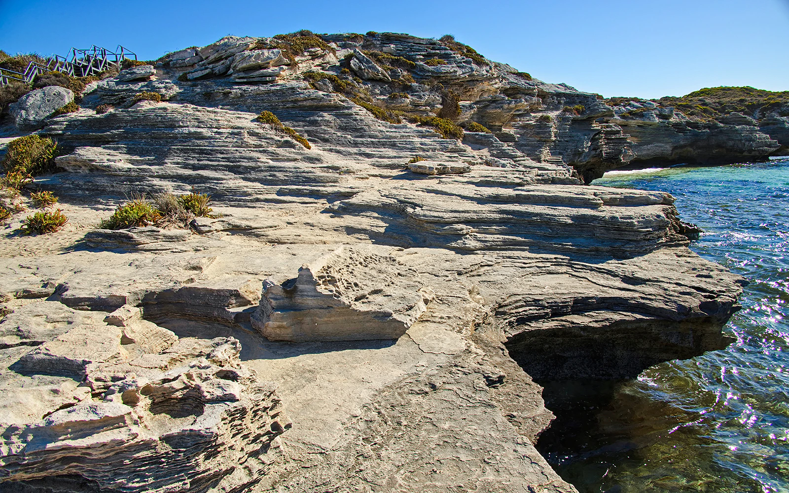
Rocky shoreline at Henrietta Rocks, Rottnest Island, with clear blue water and rugged cliffs.

Key visitor facilities

Most essential facilities are concentrated around the Main Settlement, while additional facilities are spread across the island.

Around the Settlement

  • Visitor Centre
  • Bike and equipment hire
  • Restaurants, cafés and shops
  • General store
  • Toilets and showers
  • Luggage storage
  • ATMs

Around the island

  • Toilets
  • Water refill points
  • Picnic areas
  • Bus stops
  • Emergency and first-aid facilities

Check the map before heading to remote parts of the island, particularly if you're cycling or walking for several hours.

How to use the map

Use the Rottnest Island map to plan your route before you leave the Settlement.

1. Find your starting point: Most visitors arrive at the Settlement after taking a ferry from Perth, Fremantle or Hillarys.

2. Choose your stops: Mark the beaches, attractions, wildlife locations or viewpoints you want to visit.

3. Pick a way to get around: Compare cycling, walking and bus options based on the distance between your chosen stops.

4. Plan around your time: For a few hours, focus on the Settlement and nearby beaches. With a full day, you can travel further around the island.

5. Save your route: Download the map or use an offline navigation tool where possible. Mobile coverage can be limited in parts of the island.

Frequently asked questions about Rottnest Island navigation

Visit the Rottnest Island Visitor Centre for printed maps, up-to-date advice, and local tips. Staff can help you plan your route, book tours, or answer any questions about accessibility and services.